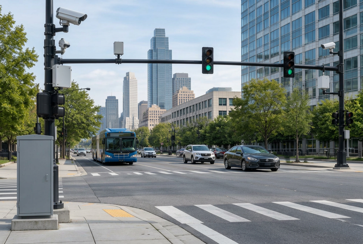
The Connected Intersection
02 · CONNECT — Where Maps, Sensors, Signals and Vehicles Meet. Intersections are becoming data-rich infrastructure. This session examines how GIS, signals, sensing and communications can work together. Connect the physical network: bring mapped infrastructure into a connected, real-time operational environment. Sensors · Cameras · Radar · V2X · Transit · Traffic management systems. Know what is happening now. Post-event intelligence publication: A Local Government Guide to Real-Time Transportation Infrastructure.
Key Takeaways
- Anatomy of the connected intersection
- Seeing the intersection
- Understanding the signal
- Connecting infrastructure and vehicles
- GIS as context
- Practical municipal applications
- Building a connected corridor
Why Attend?
Intersections are becoming data-rich infrastructure. This session examines how GIS, signals, sensing and communications can work together.
Who Should Attend
- Transportation Directors
- Traffic Engineers
- GIS Directors & Managers
- Public Works Directors
- City & County Engineers
- ITS Managers
- Traffic Operations
- Asset Managers
- CIOs & CTOs
- Data & Analytics
- Smart Mobility
- Emergency Management
- Transit Agencies
- MPOs & Regional Planners
- City & County Leadership
Agenda
- 01 Anatomy of the connected intersection
- 02 Seeing the intersection
- 03 Understanding the signal
- 04 Connecting infrastructure and vehicles
- 05 GIS as context
- 06 Practical municipal applications
- 07 Building a connected corridor