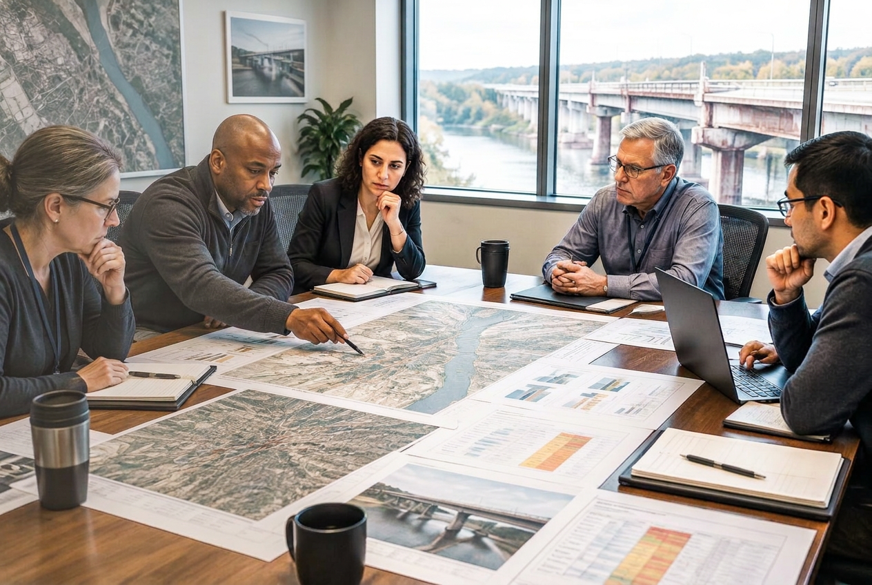
The Modern Public Works Department — technology, infrastructure and operational intelligence for local government.
National webinars covering roads, infrastructure inspection, buried utilities, predictive maintenance, workforce productivity and capital investment.
Starting with the challenge, not the tool.
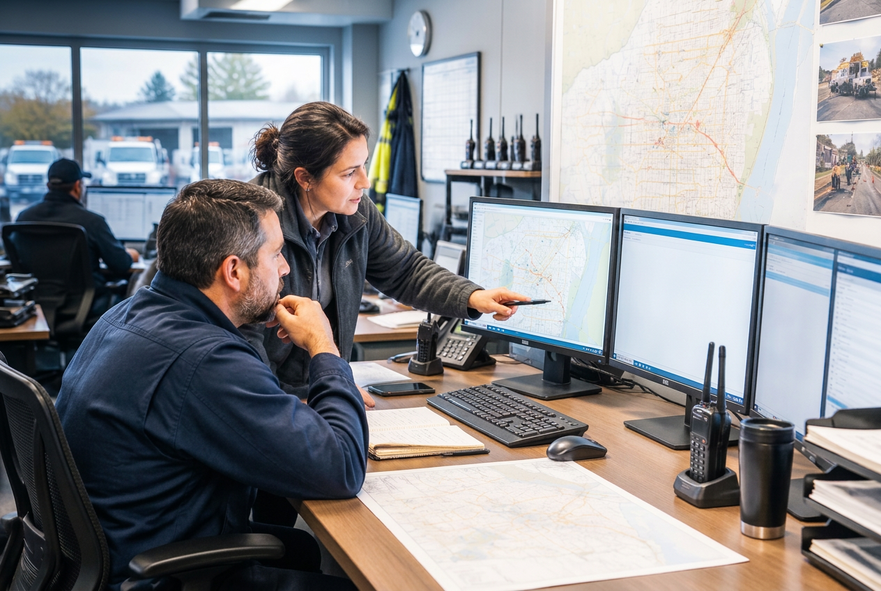
Modern Public Works departments must maintain aging infrastructure, improve service levels and make better infrastructure decisions with constrained budgets and staffing. That starts with knowing what assets they own, where they are and what condition they are in.
Six national webinars covering roads, infrastructure inspection, buried utilities, predictive maintenance, workforce productivity and capital investment — starting with the challenge, not the tool.
ASSESS → AUTOMATE → UNCOVER → PREDICT → EMPOWER → PRIORITIZE \n\n\nOne thread runs through all six: every session depends on the same foundation — knowing what you own, where it is and what condition it is in. GIS and connected asset data link inspection, maintenance, workforce and capital planning.
This is not a technology series looking for places to apply products. It is a practical Public Works program built around the problems municipalities need to solve — and where technology can deliver measurable operational value. Each event becomes an Asset Mapping Intelligence Report: a permanent, searchable record of the session.
Why attend
Technology Landscape
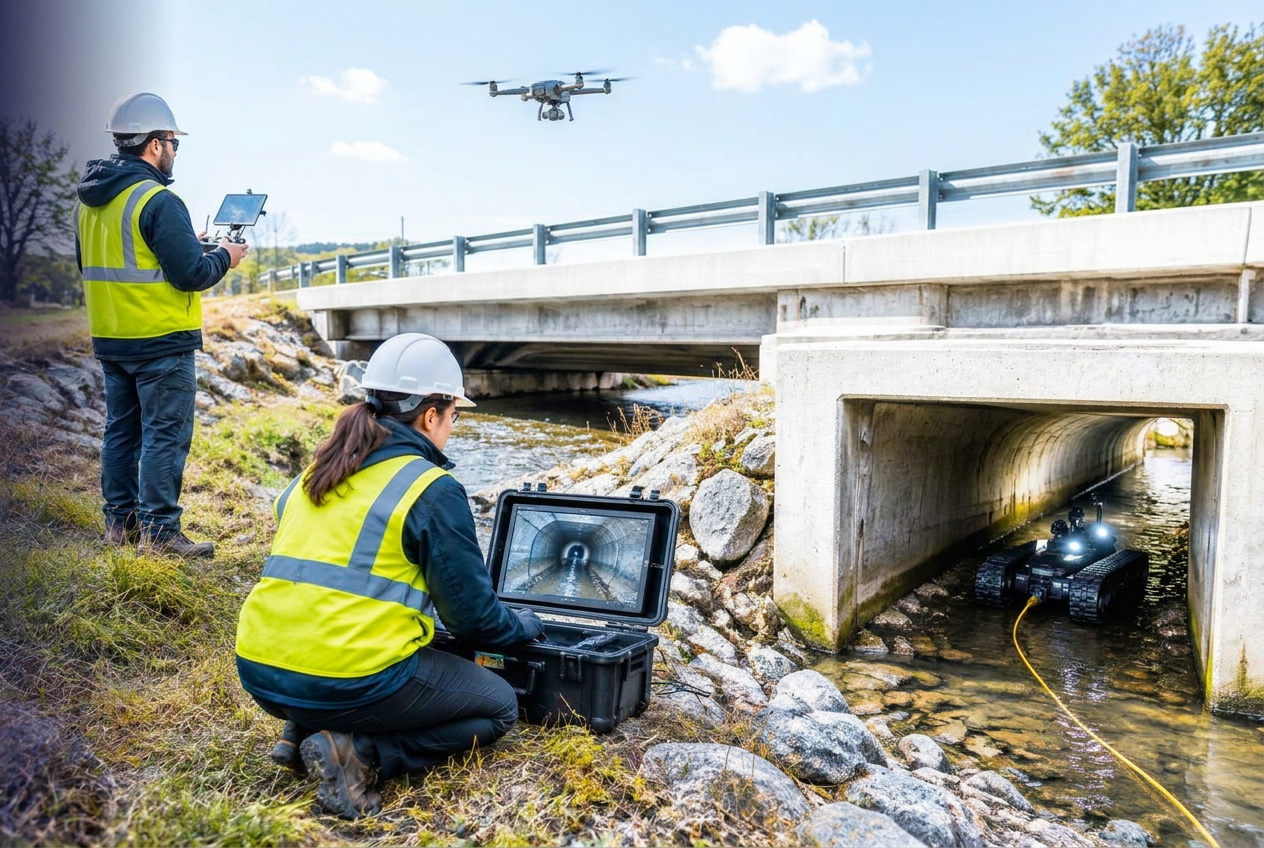
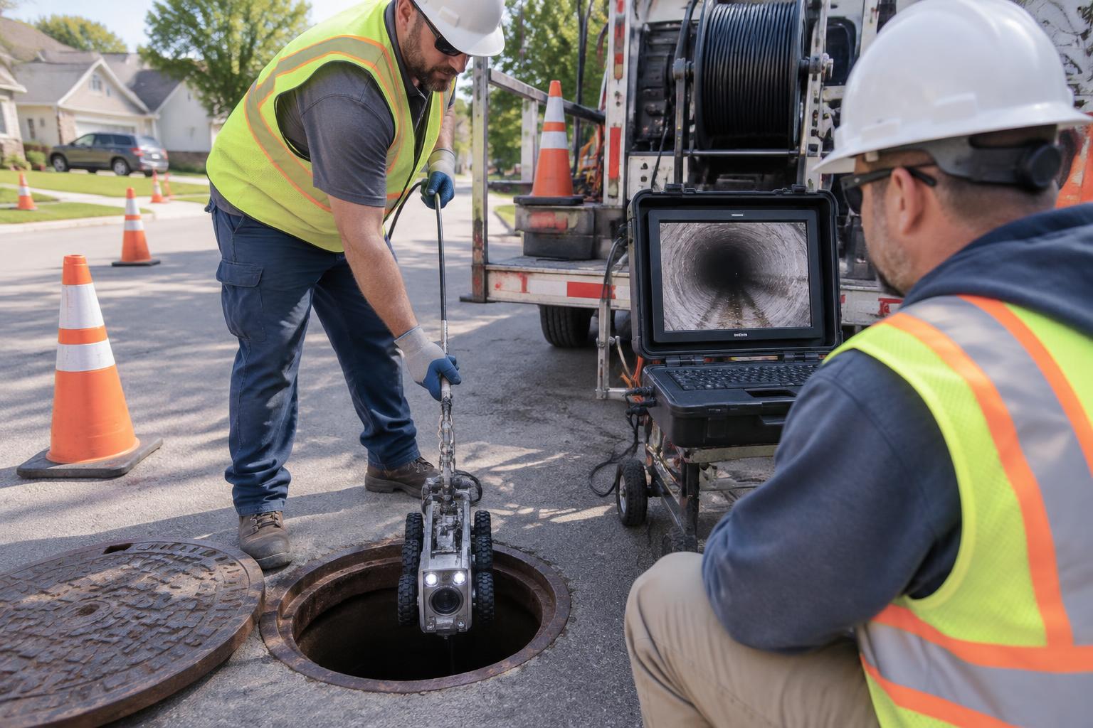
The series explores where emerging and established technologies can solve specific operational and infrastructure challenges — without starting with a product or platform.
Who Should Attend
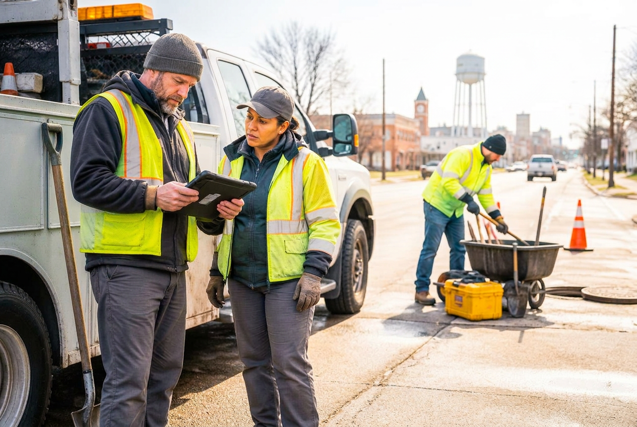
Also relevant to Planning, Emergency Management and other teams responsible for community resilience and infrastructure performance.
More Than a Webinar
Webinar + Intelligence
Each event becomes an Asset Mapping Intelligence Report — a permanent, searchable record of the session. The full write-up, the archived video, every audience question and answer, a practical field guide, a glossary, direct speaker contacts, and supporting material from the technology partners who took part.
Released to registered attendees. Permanently linkable. Built to be used long after the live date.
Compiled editorially by AssetMapping.Events from the session recording and transcript. Statements are attributed to the speaker who made them. Partner-supplied material is clearly labeled as such.
The archived presentation plays inside the report, with chapters and slide downloads.
Direct contact details for every presenter, plus follow-up answers to questions that ran out of time.
Full session write-up, video, Q&A and speaker contacts.