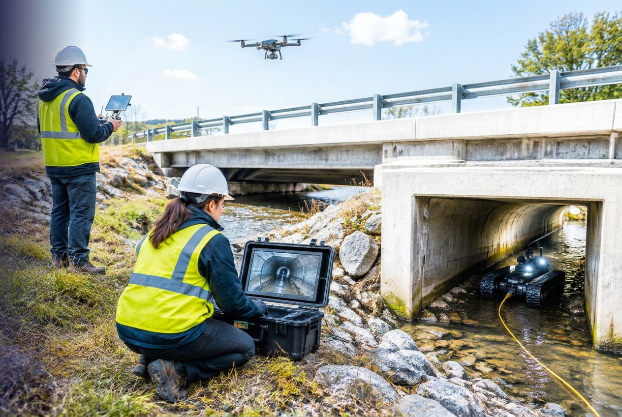
Inspect Without Sending a Crew
02 · AUTOMATE — Drones, robotics, cameras, sensors and AI for infrastructure inspection. Inspecting municipal infrastructure traditionally means putting someone beside a roadway, underground, inside a pipe, on a roof or into another hazardous environment. Drones can inspect from above, robots can enter confined spaces, vehicle cameras can observe streets and sensors can monitor assets without a site visit. The goal is not to eliminate human inspection, but to make it safer, faster, more frequent and more consistent. Each event becomes an Asset Mapping Intelligence Report — a permanent, searchable record of the session: the full write-up, the archived video, every audience question and answer, a practical field guide, a glossary, direct speaker contacts, and supporting material from the technology partners who took part.
Key Takeaways
- Which municipal inspection activities can already be performed remotely or automatically.
- Where drones, robotics, sensors and cameras offer different advantages.
- How AI and computer vision can reduce the burden of reviewing inspection data.
- How to evaluate safety, accuracy, cost and operational benefits before deployment.
Why Attend?
Inspection is where risk, cost and staff safety meet. This session sets out which activities can already be automated today, and how to judge accuracy and cost before committing to a platform.
Who Should Attend
- Public Works
- Engineering
- Transportation
- Water and Wastewater
- Stormwater
- Facilities
- Bridge and Structure Managers
- Asset Managers
- GIS
- Emergency Management
- Safety and Risk teams
Agenda
- 01 Why Inspection Is Changing
- 02 Above It — drones and aerial inspection
- 03 Inside It — robotics for pipes, sewers, culverts and confined spaces
- 04 Along It — vehicle-based cameras and automated observation
- 05 Watch It Continuously — sensors and remote condition monitoring
- 06 Analyze It — AI and computer vision for imagery and sensor data
- 07 Where Humans Still Matter
- 08 Panel Discussion + Audience Q&A