Mapping What MattersHigh-Accuracy GPS, Underground Locating & GIS for Gas Utilities
Connecting regulatory requirements, accurate underground asset locations, and GIS-driven asset management for safer, smarter gas utility operations.
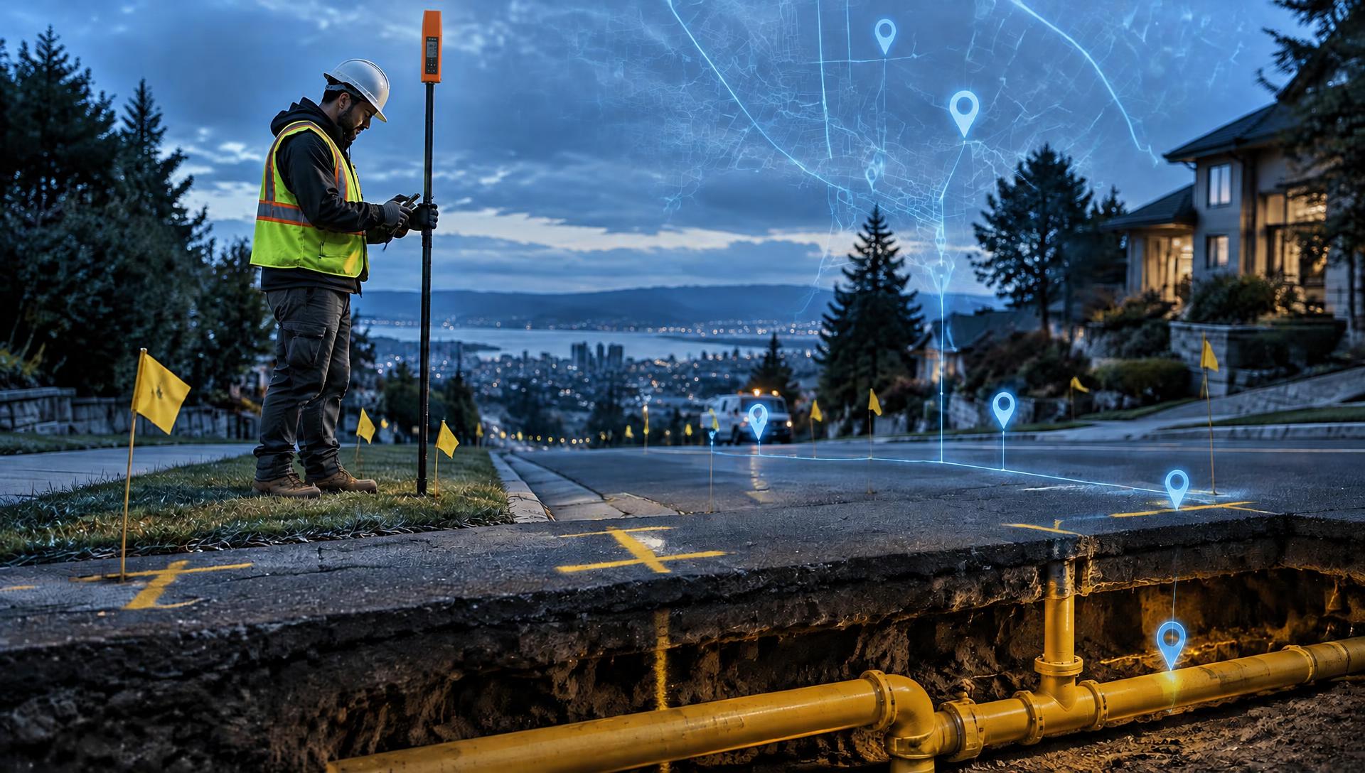
For gas utilities, accurate underground infrastructure records are essential to public safety, regulatory compliance, damage prevention, and effective asset management. Yet legacy maps, incomplete as-builts, and inconsistent field data can create uncertainty and operational risks.
This webinar explores how PHMSA regulations and Subsurface Utility Engineering (SUE) standards — including ASCE 38-22 and ASCE 75-22 — relate to underground asset documentation, spatial accuracy, and GIS data management. Speakers will examine how SUE quality levels, modern underground locating methods, high-accuracy GNSS/GPS, and GIS integration can improve the reliability of utility records.
Attendees will learn practical approaches for improving field data collection, reducing excavation risks, supporting integrity management, and creating more accurate, dependable geospatial records throughout the asset lifecycle.
Key Takeaways
- Understand how PHMSA regulations and ASCE SUE standards (38-22 and 75-22) guide underground utility mapping and documentation.
- Learn how high-accuracy GNSS/GPS and underground locating methods improve spatial accuracy and data confidence.
- Explore best practices for integrating field-collected asset data into enterprise GIS.
- Discover how reliable location data supports damage prevention, regulatory compliance, and asset management.
Why Attend?
Gas utilities need accurate underground infrastructure records to improve safety, meet regulatory obligations, and manage aging assets. Yet incomplete as-builts, legacy maps, and inconsistent field data create operational risks and uncertainty.
This webinar explores how underground locating, high-accuracy GNSS/GPS, and GIS can work together to improve asset documentation, reduce excavation risks, support integrity management, and enable more informed infrastructure decisions.
Who Should Attend
- Gas Utility Operations & Engineering: Gas distribution and transmission engineers, utility operations managers, pipeline engineers, and field operations supervisors.
- GIS & Asset Management: GIS managers, geospatial analysts, asset management professionals, and utility data administrators.
- Pipeline Safety & Regulatory Compliance: Integrity management specialists, DIMP program managers, pipeline safety officers, and regulatory compliance personnel.
- Underground Locating & Surveying: Utility locators, subsurface utility engineering (SUE) professionals, surveyors, GNSS/GPS specialists, and field data collection teams.
- Construction & Infrastructure Management: Utility construction managers, contractors, inspectors, and personnel responsible for as-built documentation, excavation safety, and infrastructure replacement.
- Public Agencies & Utility Coordination: Public works departments, municipal utilities, transportation agencies, and right-of-way managers coordinating work around underground gas infrastructure.
Presenters

Dr. Nikolas Smilovsky
PhD, GISP
Geospatial Solutions Director
Bad Elf
Nikolas Smilovsky, PhD, GISP is a Geospatial Evangelist, Solutions Provider, and Educator, as well as Geospatial Solutions Director with Bad Elf. For nearly two decades Nik has focused his efforts on the professional and academic expansion of the geospatial professions. Whether working for a plethora of different types of private consulting firms collecting, analyzing, and displaying geographic data or working as an academic, researching and contributing to the corpus of educational knowledge, his passion in life is geography. As an energetic and enthusiastic public speaker, teacher, and thought leader he has enjoyed sharing successes with others and seeing them flourish. Specifically, his interests in the geospatial fields include the geography of behavior, sustainable and resilient geodesign, geographic science pedagogy (especially online education), and geospatial technologies as a whole. Nik loves innovative GIS tech and is a Geoholic! He is also a certified arborist, UAS Remote Pilot and Esri ArcGIS professional.