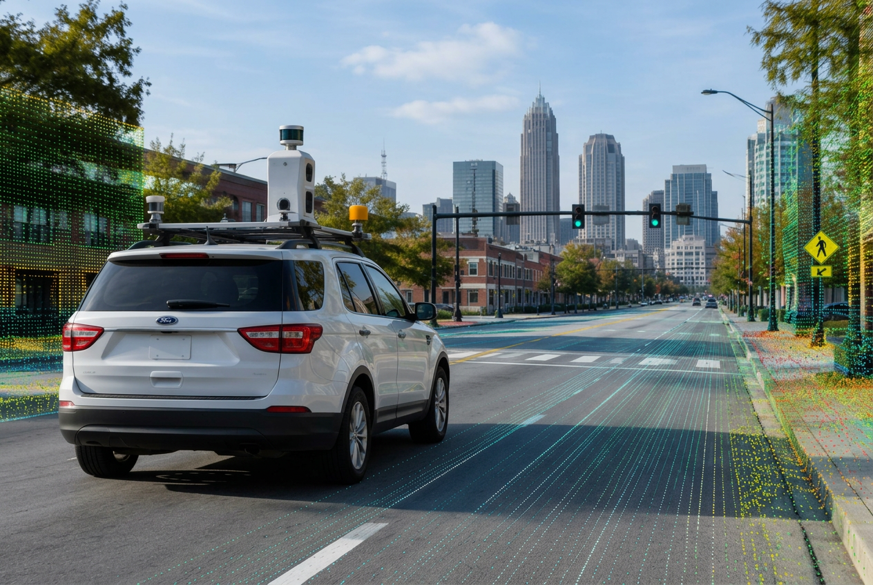
The Machine-Readable Street
01 · MAP — Building the Digital Foundation for the Modern Road Network. Most cities have road maps. The real question is whether those maps have the detail, accuracy and currency modern transportation systems require. Build the digital road: create an accurate, usable representation of roads, lanes, intersections and assets. GIS · Lane geometry · Signals · Imagery · LiDAR · Asset inventories. Know what exists and where it is. Post-event intelligence publication: A Local Government Guide to Building the Digital Road Network.
Key Takeaways
- What makes a street machine-readable?
- The digital anatomy of the street
- How accurate does the network need to be?
- Capturing the physical road
- GIS as transportation infrastructure
- Who owns the digital road?
- Starting with one corridor
Why Attend?
Most cities have road maps. The real question is whether those maps have the detail, accuracy and currency modern transportation systems require.
Who Should Attend
- Transportation Directors
- Traffic Engineers
- GIS Directors & Managers
- Public Works Directors
- City & County Engineers
- ITS Managers
- Traffic Operations
- Asset Managers
- CIOs & CTOs
- Data & Analytics
- Smart Mobility
- Emergency Management
- Transit Agencies
- MPOs & Regional Planners
- City & County Leadership
Agenda
- 01 What makes a street machine-readable?
- 02 The digital anatomy of the street
- 03 How accurate does the network need to be?
- 04 Capturing the physical road
- 05 GIS as transportation infrastructure
- 06 Who owns the digital road?
- 07 Starting with one corridor