Webinar Series
GIS at the Centre: Spatially Intelligent Asset Management Ecosystems
Moving GIS from the edges of asset management to its center.
Presented with
Moving GIS from the edges of asset management to its center.
Sponsored by Asset Management Software | Siemens
Sponsored by Asset Management Software | Siemens
Sponsored by Brightly Software
Sponsored by Brightly Software
GIS mapping is currently used by just 31% of organizations as part of their asset management system. For GIS professionals in local government, that statistic represents both a challenge and a significant opportunity.
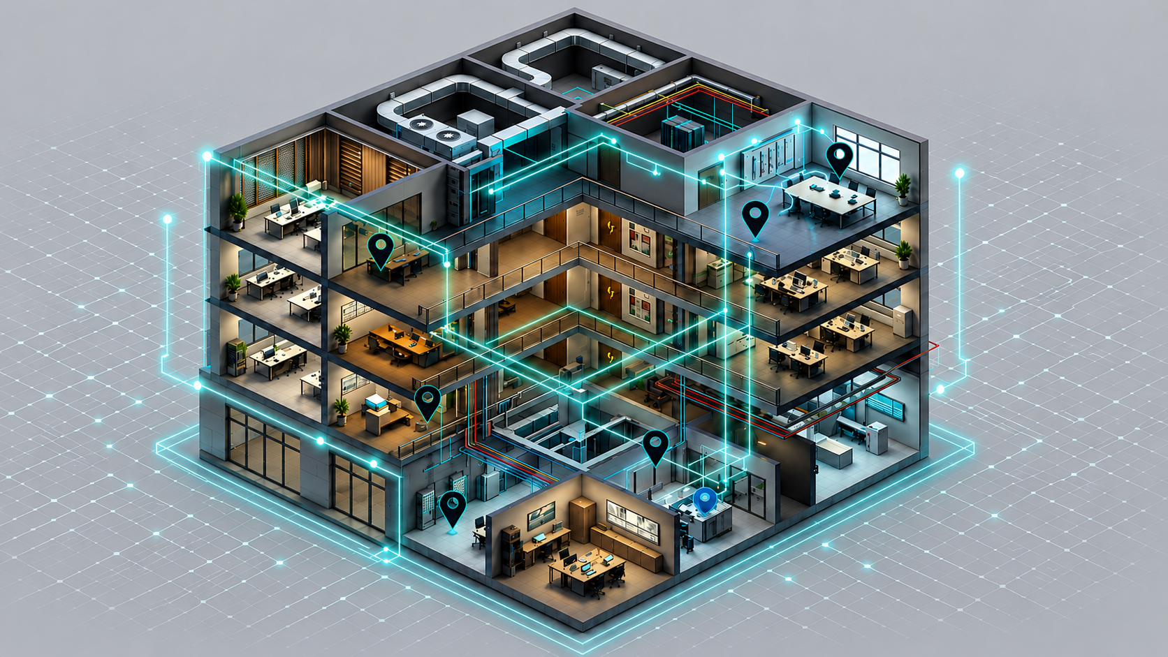
This four-part webinar series is designed to help you close that gap. Across four sessions, we examine how GIS can move from the edges of asset management to its center: serving to connect CMMS work order data, asset registries, facility condition assessments, lifecycle planning, risk analysis, and IoT feeds into a unified, map-centric view of everything your organization owns and operates.
GIS professionals in government are sitting on one of the most powerful and underutilized strategic assets their organizations possess: a spatial data platform capable of connecting everything.