

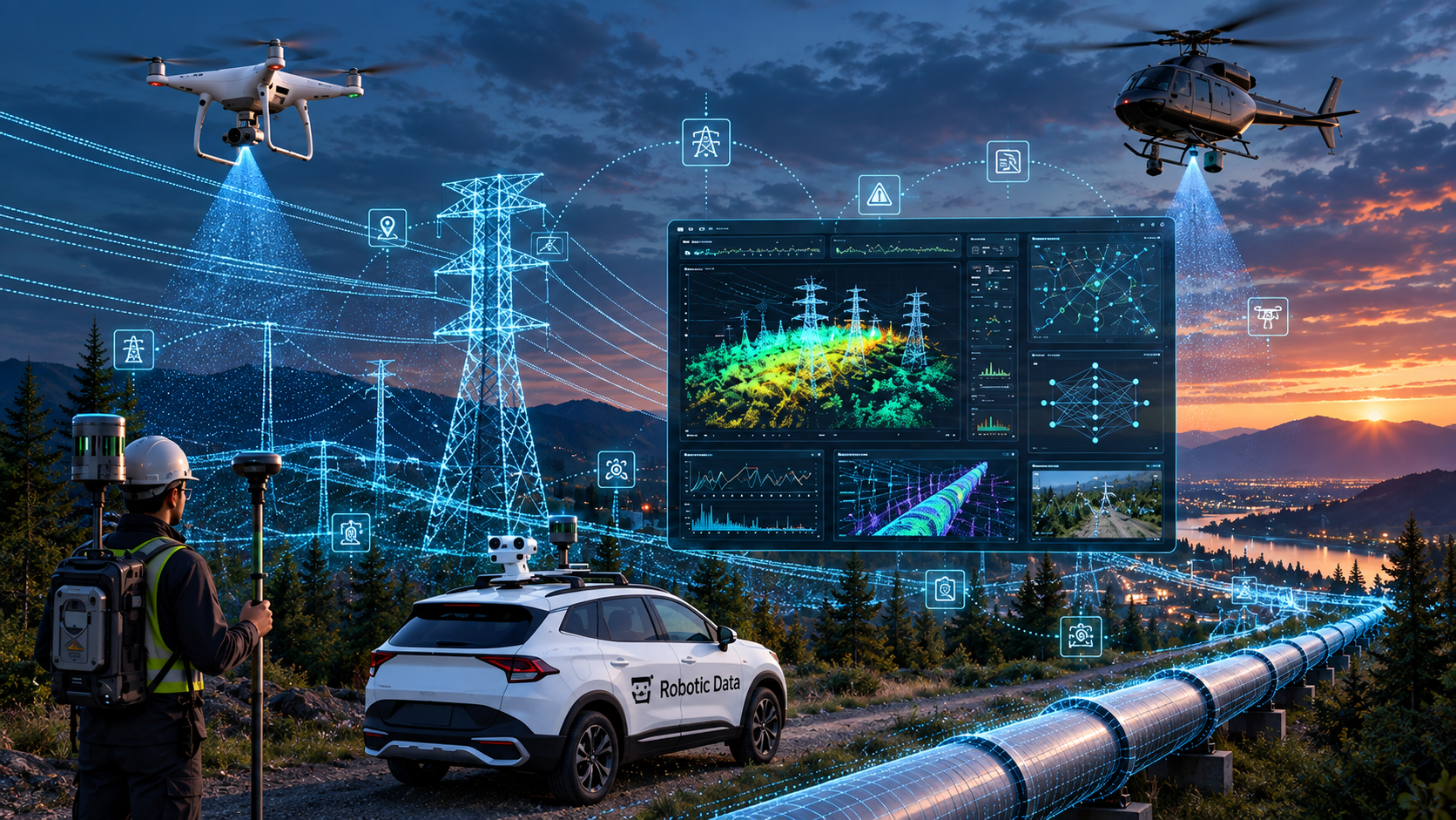
Physical AIThe Future of Intelligent Utility Infrastructure
From data collection to digital intelligence — beyond the digital twin: how Physical AI will transform utility infrastructure. As AI becomes increasingly embedded in utility engineering and asset management, digital twins are evolving from static representations into continuously updated, intelligent operational platforms. By combining continuous reality capture, AI-powered monitoring, and automation, utilities can gain deeper visibility into transmission, distribution, and pipeline assets while improving network reliability, vegetation management, and asset performance. This webinar will explore how intelligent digital twins, autonomous inspection technologies, and utility infrastructure automation are transforming the way organizations capture, monitor, and manage critical infrastructure. We'll also examine how utilities can prepare their data, workflows, and organizations for the next generation of Physical AI — where AI systems increasingly understand and interact with the physical world.
Key Takeaways
- Digital twins are evolving from static models to dynamic operational platforms.
- Continuous reality capture enables utilities to maintain a current view of their infrastructure.
- AI can help utilities move from reactive to proactive asset management.
- Preparing for Physical AI starts with the right data foundation.
- Successful AI adoption requires more than technology.
- The future of utility infrastructure management is increasingly autonomous and intelligent.
Why Attend?
The future of utility infrastructure management starts with creating a complete, accurate, and AI-ready representation of the physical world. Aerial imagery, LiDAR, and mobile mapping each provide valuable information—but the real value comes from combining them. The opportunity before us: transform fragmented data into one intelligent representation of the world utilities manage.
Who Should Attend
Infrastructure Owners
Public sector & operators
- Electric, water, gas & wastewater utilities
- Municipal utilities and co-ops
- County and municipal governments
- Public works and utility departments
- Vegetation management contractors
- Utility engineering consultancies
- Pipeline and midstream operators
- Critical infrastructure operators
Typical Attendees
Owner-side leaders
- Utility Executives
- Asset Managers
- Digital Twin Managers
- GIS Directors
- Survey Managers
- Utility Engineers
- Vegetation Managers
- Distribution & Transmission Managers
- Capital Program Managers
- Asset Management Directors
- Innovation & Digital Transformation Leaders
Geospatial & Reality Capture
Technical professionals
- GIS Managers
- GIS Analysts
- Mapping Specialists
- Reality Capture Specialists
- Mobile Mapping Managers
- LiDAR Engineers
- Photogrammetry Specialists
- Remote Sensing Professionals
- Geospatial Data Managers
- Survey Engineers
- Geomatics Professionals
- Point Cloud Specialists
Presenters

Brian Soliday
Chief Revenue Officer
Robotic Data
Brian Soliday is a sales/marketing leader, with over 40 years of professional experience in the global geospatial marketplace. He has held senior positions with some of the largest geospatial technology organizations, including Autodesk, Trimble, Space Imaging and others. He graduated with a Bachelors and Masters degrees in Geography (GIS/Remote Sensing) from the University of Nebraska-Omaha.

Peter Atalla
CEO and Founder
Robotic Data
Peter Atalla is the Chief Executive Officer of Robotic Data and a technology entrepreneur with more than 18 years of experience in geospatial technology, artificial intelligence, and robotics. Prior to Robotic Data, Peter founded and served as CEO of Navmii, growing the navigation platform to more than 27 million users worldwide. At Robotic Data, Peter leads the company's mission to build the data infrastructure for Physical AI, developing World Data and Human Data platforms that enable autonomous vehicles, drones, humanoid robots, and AI systems to understand and interact with the real world. Peter has founded and scaled multiple technology companies and has been involved in two successful technology exits.

Josh Chapple
Account Manager
NV5
Joshua Chapple is an Account Manager at NV5, where he helps manage key geospatial accounts' projects from the idea stage through the proposal and contracting, acquisition and analytics, and implementation and integration stages. Josh frequently leads educational sessions about lidar and imagery technologies and capabilities that exist within the geospatial industry, with a focus on 3D imagery products to create digital twins. He has direct experience creating large-scale digital twins that use lidar and imagery data for reality capture visualization and feature extraction. Prior to its 2022 acquisition by NV5, Josh was with GEO1, where he acquired high resolution airborne LiDAR data and imagery using Riegl Lidar and Phase One 150 megapixel sensors. Josh holds a Bachelor’s degree in Finance from the University of San Diego.