Webinar Series

Beyond Vision Webinar Series

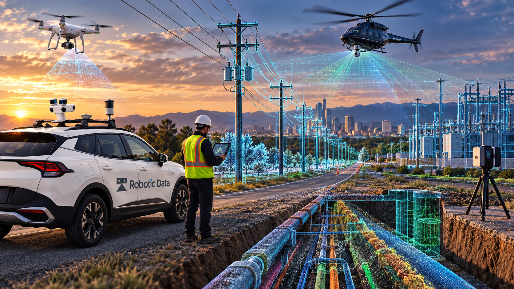
Building AI-Ready Digital Twins with Multi-modal Reality Capture. The future of utility infrastructure management starts with creating a complete, accurate, and AI-ready representation of the physical world.

Presented with

Robotic DataNV5

Sessions in this series

Upcoming

Reality Capture: Building AI-Ready Digital Twins with Multi-modal Reality Capture
UpcomingOct 20, 2026

Reality Capture: Building AI-Ready Digital Twins with Multi-modal Reality Capture

Sponsored by Robotic Data, NV5

UtilitiesReality CaptureLiDARDigital Twins
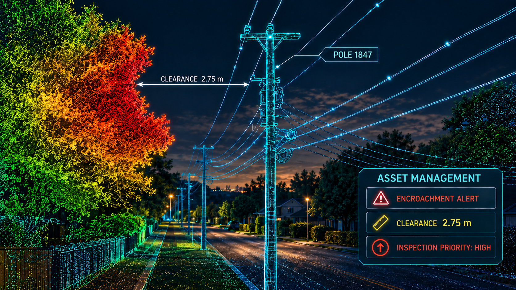
Asset Management: From Reality Capture to Intelligent Asset Management
UpcomingNov 12, 2026

Asset Management: From Reality Capture to Intelligent Asset Management

Sponsored by Robotic Data, NV5

UtilitiesAsset ManagementAIVegetation Management
Physical AI: The Future of Intelligent Utility Infrastructure
UpcomingDec 15, 2026

Physical AI: The Future of Intelligent Utility Infrastructure

Sponsored by Robotic Data, NV5

UtilitiesPhysical AIDigital TwinsAutomation

Series overview

Utilities have more geospatial data than ever—aerial imagery, LiDAR, mobile mapping, and more. But that data often lives in disconnected silos. The challenge isn't collecting more data. It's bringing it together. Without a complete, accurate, AI-ready view of the physical world, utilities struggle to efficiently understand their infrastructure, identify risk, and make confident decisions.

Why attend

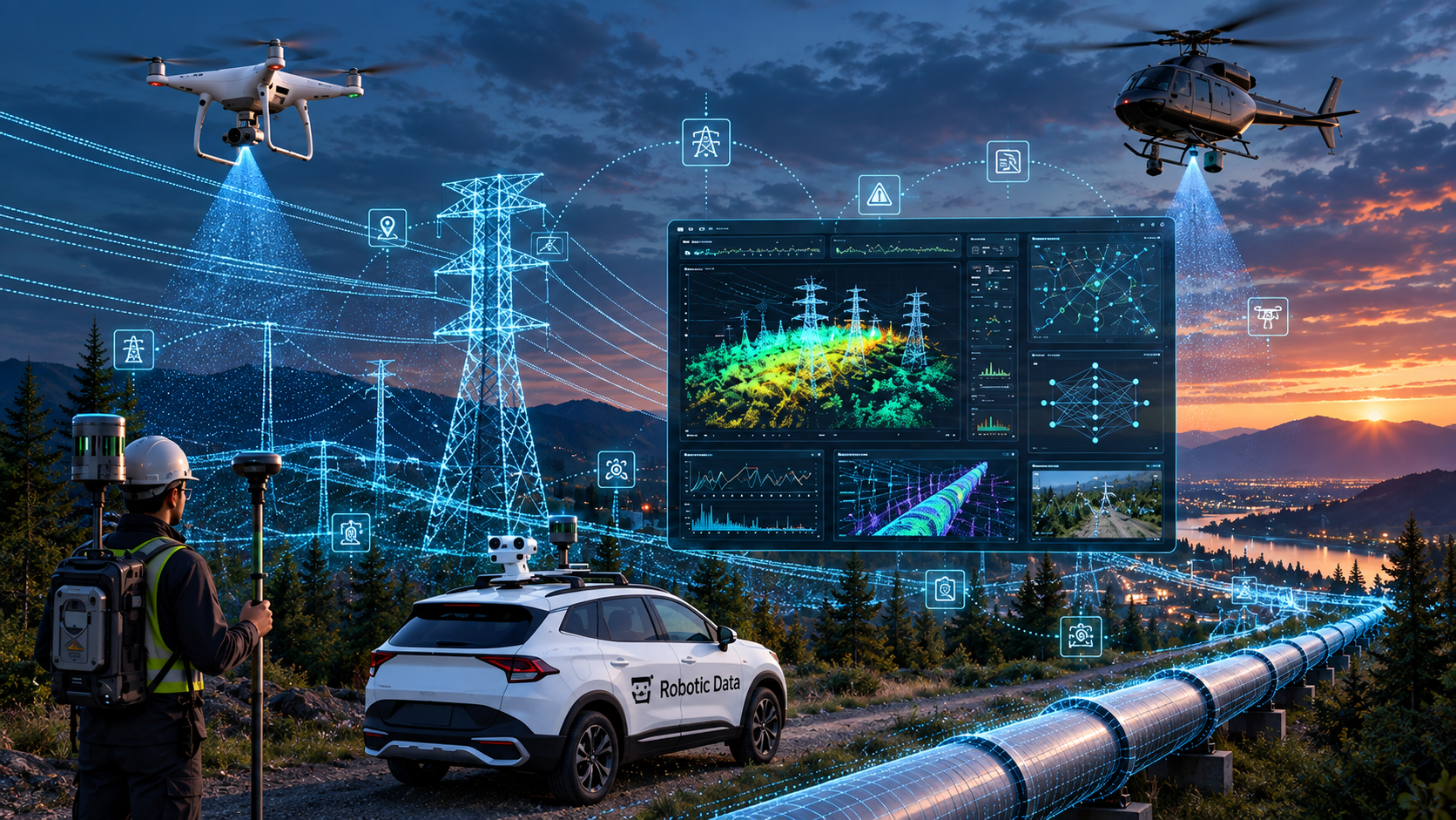
The future of utility infrastructure management starts with creating a complete, accurate, and AI-ready representation of the physical world. Aerial imagery, LiDAR, and mobile mapping each provide valuable information—but the real value comes from combining them. The opportunity before us: transform fragmented data into one intelligent representation of the world utilities manage. What attendees will learn: • More data doesn't necessarily mean better decisions. • Data silos limit the value of reality capture. • Multi-modal data creates a more complete view of the physical world. • Intelligent digital twins depend on accurate reality capture. • The opportunity is to move from fragmented data to intelligent infrastructure management.

Who should attend

Infrastructure Owners

Public sector & operators

  • Electric, water, gas & wastewater utilities
  • Municipal utilities and co-ops
  • County and municipal governments
  • Public works and utility departments
  • Vegetation management contractors
  • Utility engineering consultancies
  • Pipeline and midstream operators
  • Critical infrastructure operators

Typical Attendees

Owner-side leaders

  • Utility Executives
  • Asset Managers
  • Digital Twin Managers
  • GIS Directors
  • Survey Managers
  • Utility Engineers
  • Vegetation Managers
  • Distribution & Transmission Managers
  • Capital Program Managers
  • Asset Management Directors
  • Innovation & Digital Transformation Leaders

Geospatial & Reality Capture

Technical professionals

  • GIS Managers
  • GIS Analysts
  • Mapping Specialists
  • Reality Capture Specialists
  • Mobile Mapping Managers
  • LiDAR Engineers
  • Photogrammetry Specialists
  • Remote Sensing Professionals
  • Geospatial Data Managers
  • Survey Engineers
  • Geomatics Professionals
  • Point Cloud Specialists

Series sponsors

Robotic DataNV5
GIS Certification Institute — GISP
GISP Continuing Education CreditsAsset Mapping events qualify for GIS Certification Institute continuing education credits,  Attendance Certificates  available upon request. Visit www.gisci.org to self-submit the event curriculum for approval.